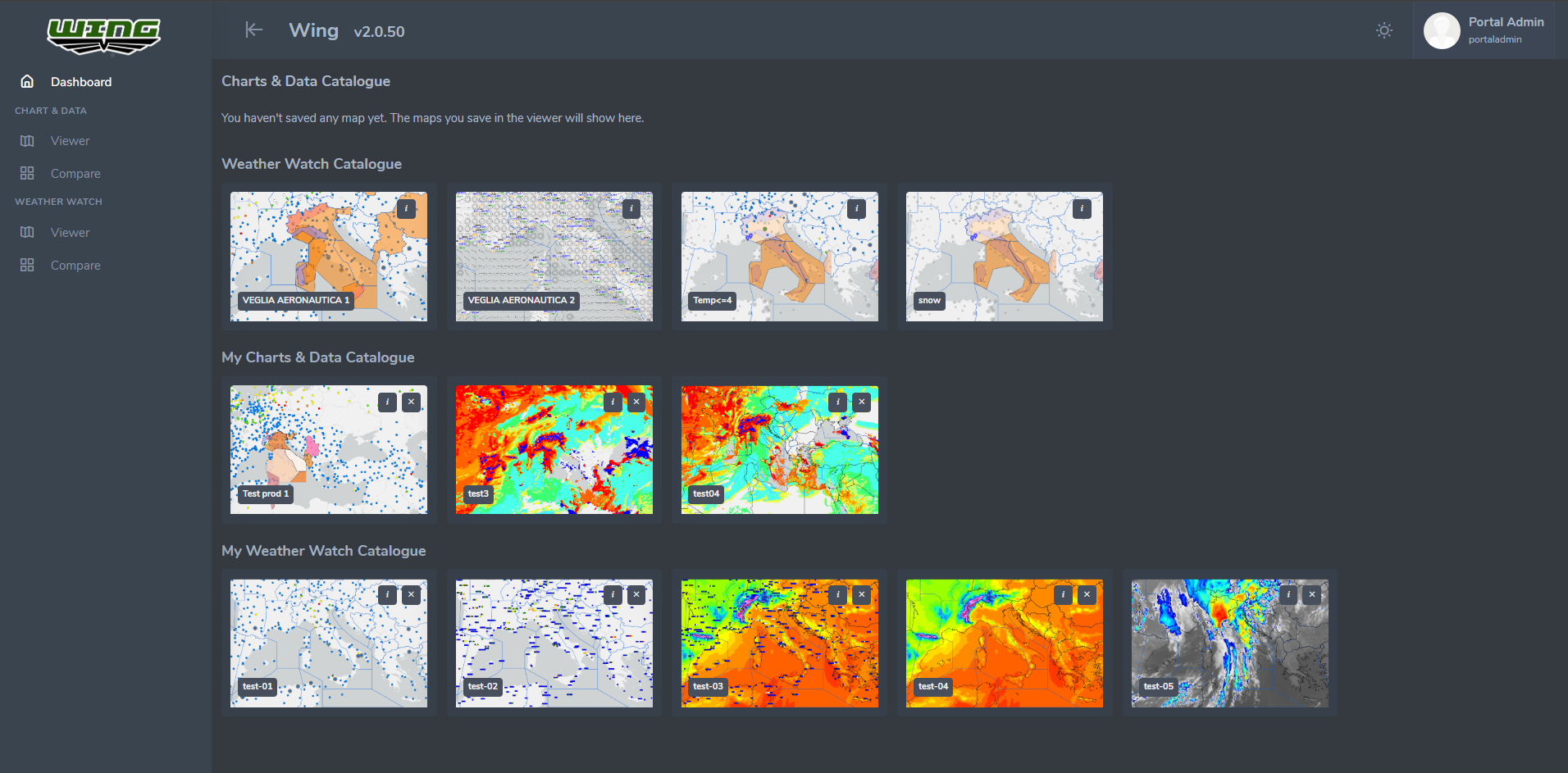
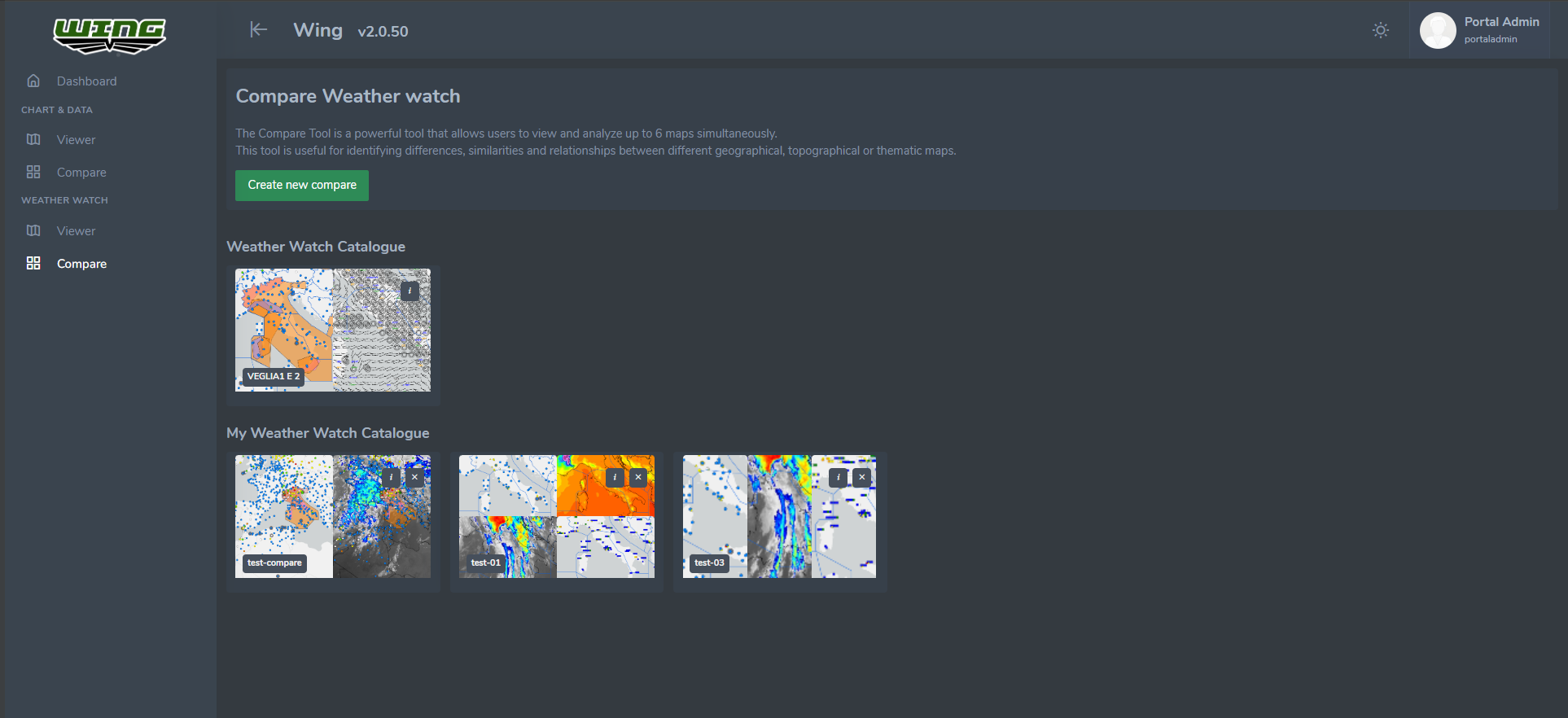
WING 2.0: Advanced Meteorological GIS Intelligence
Embarking on a transformative journey, the collaboration between the Chief of Defense (CHOD) Department of Italy and WhereTech has given rise to WING 2.0 – a cutting-edge platform set to redefine meteorological intelligence in defense operations. This sophisticated system not only consolidates functionalities from diverse providers into a unified framework but also leverages advanced technologies for in-depth analysis of critical operational conditions and parameters.
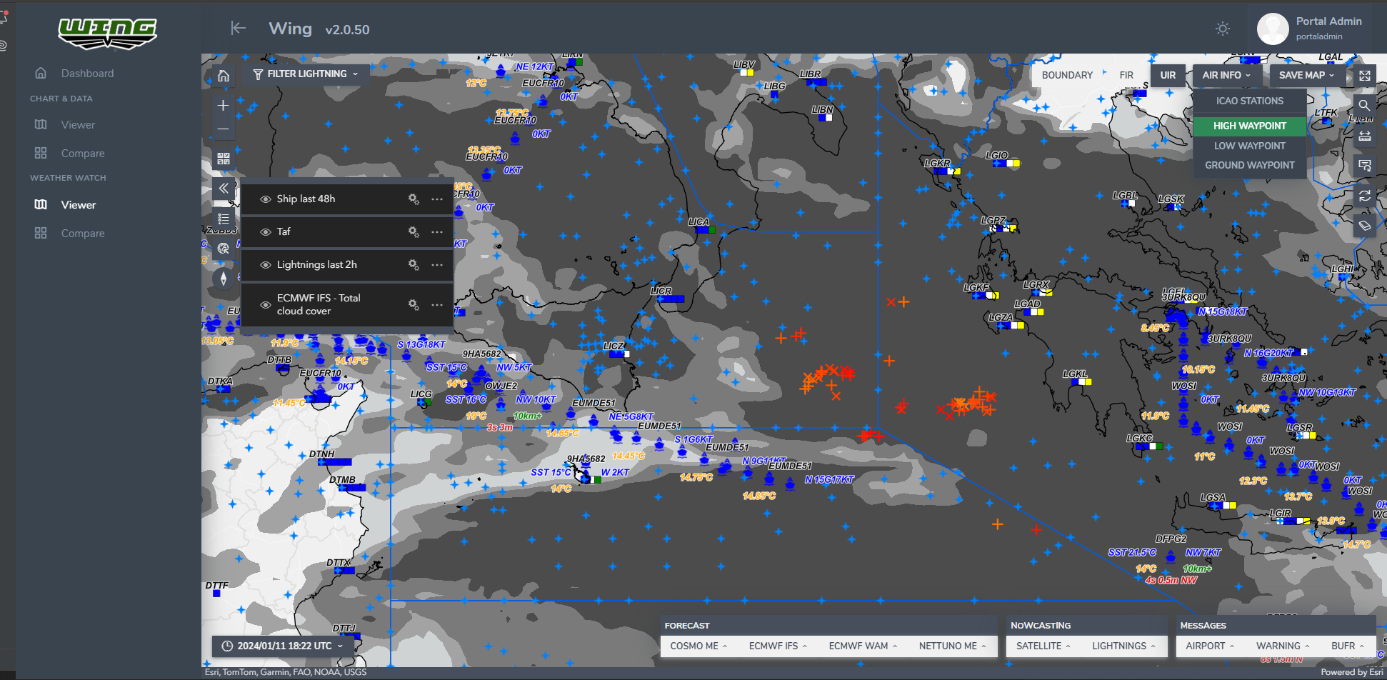
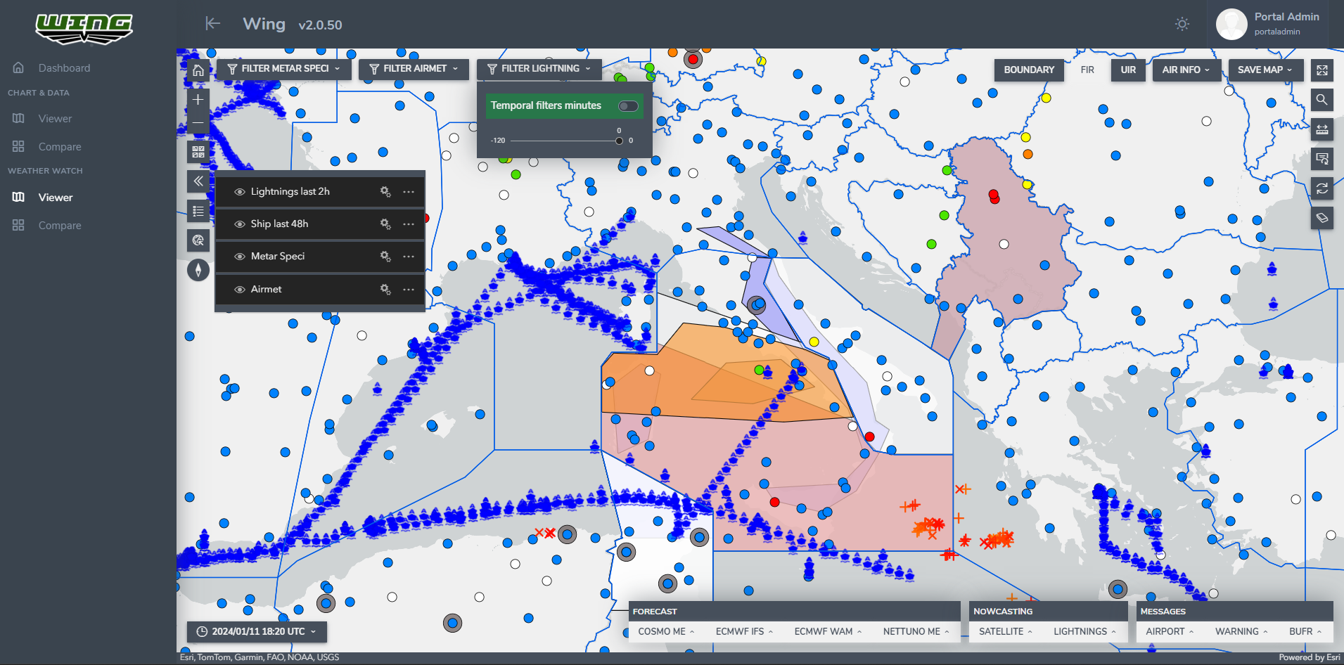
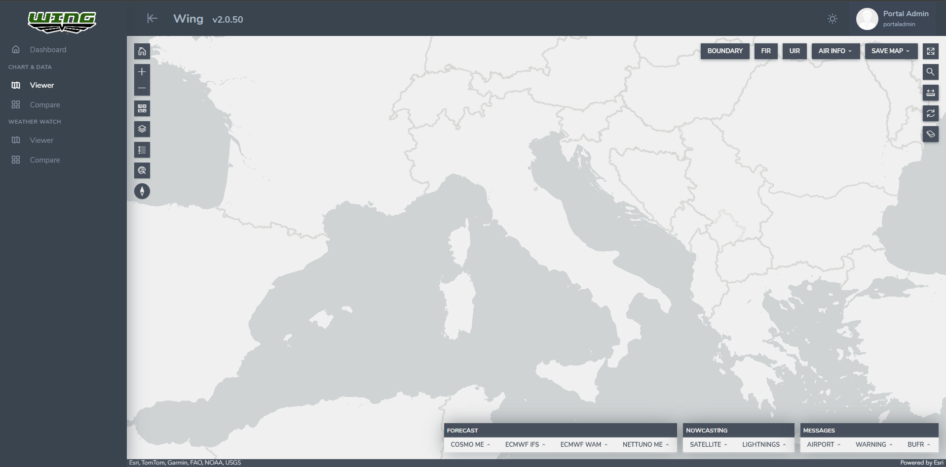
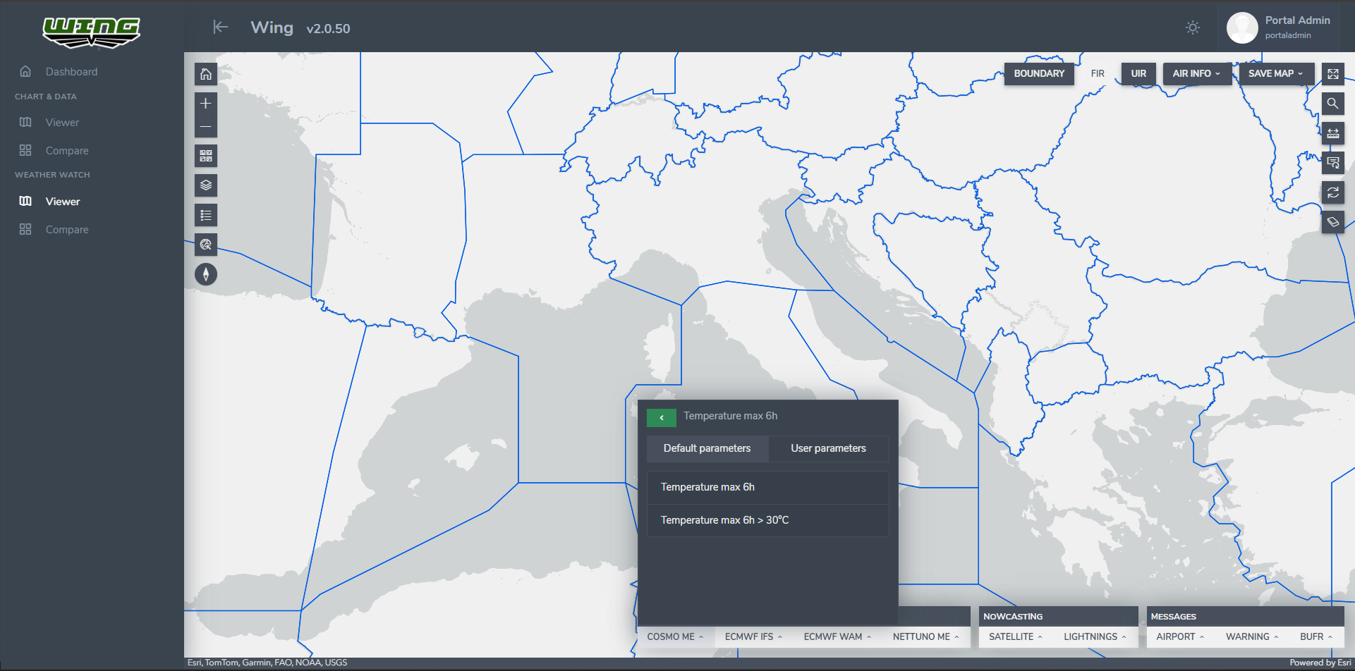
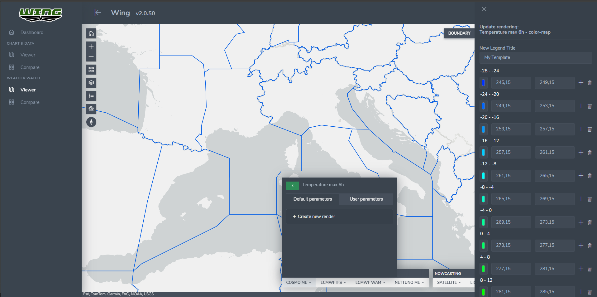
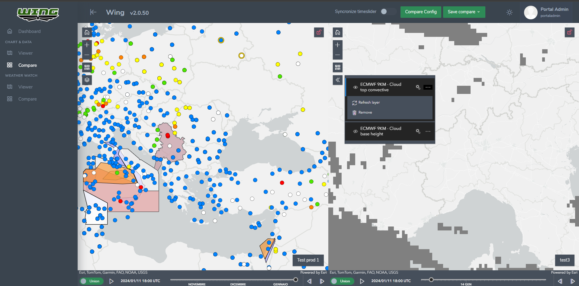
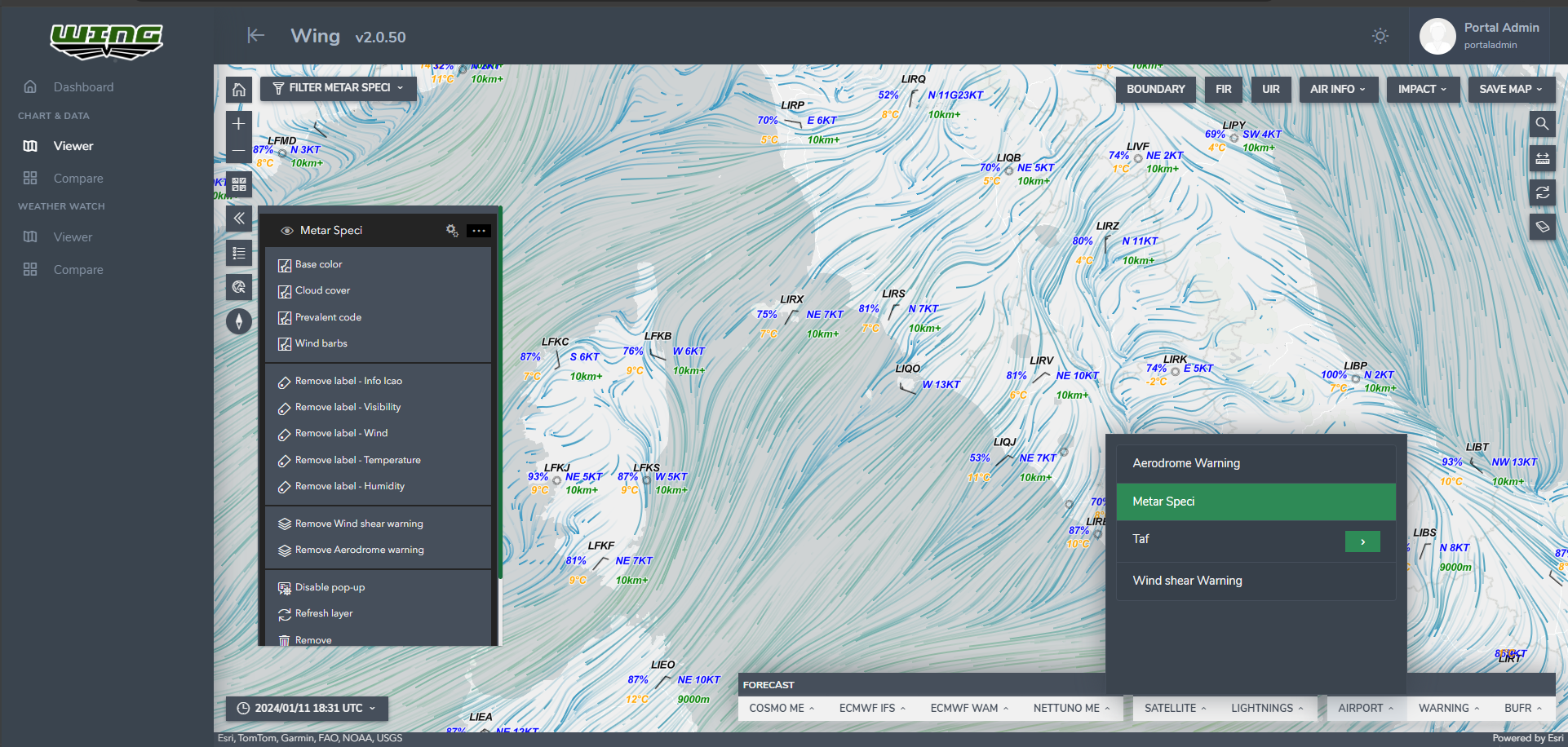
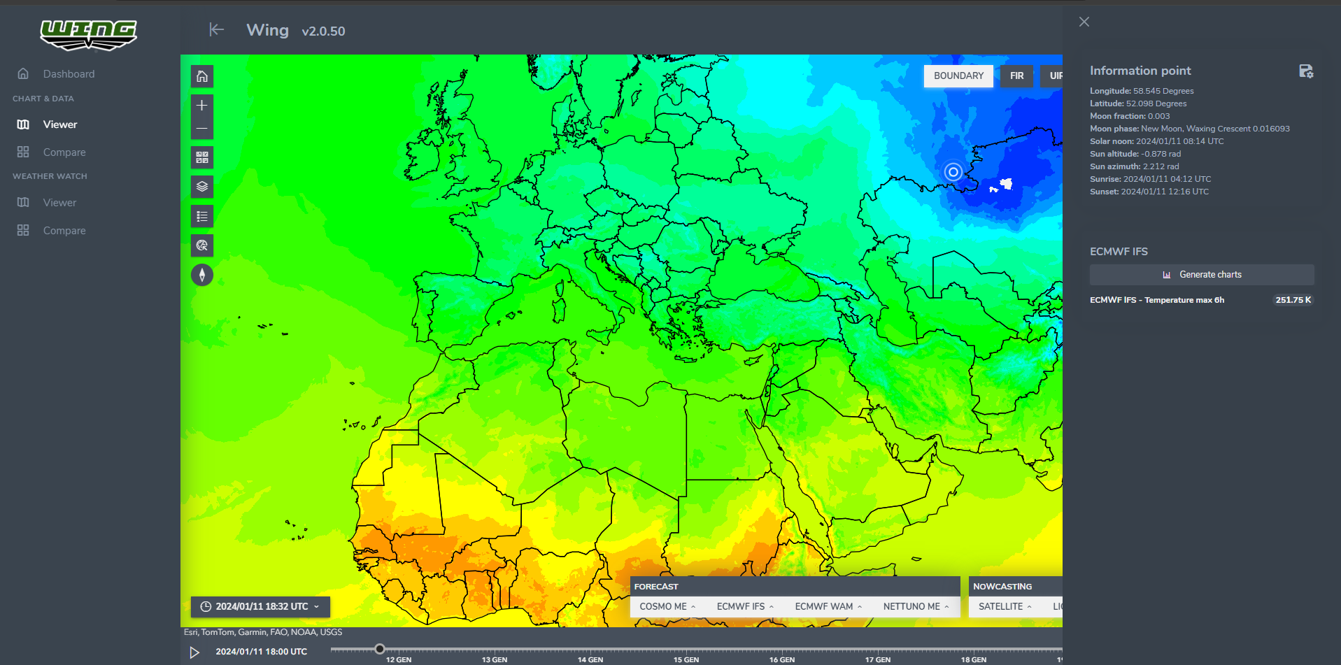
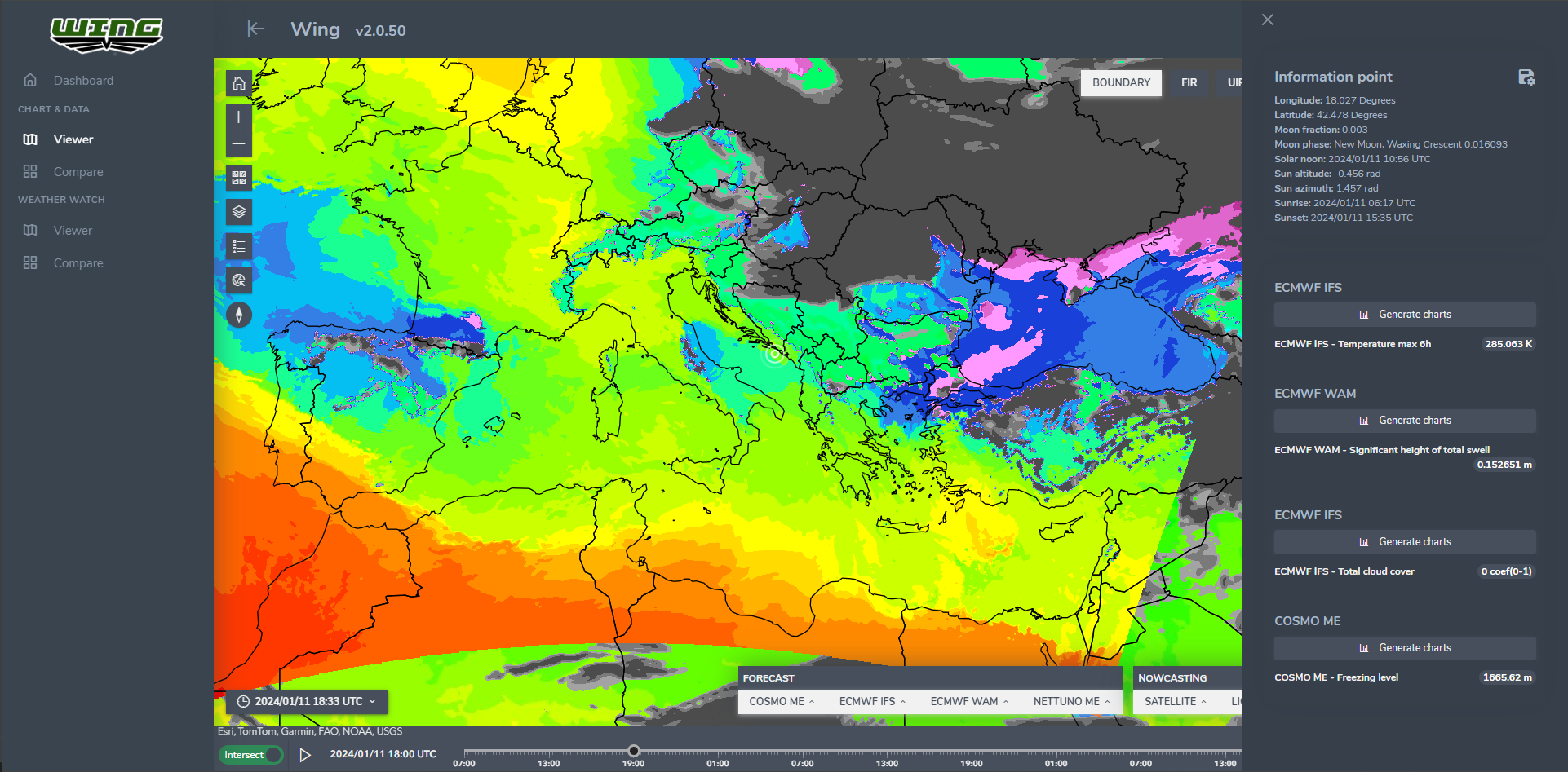
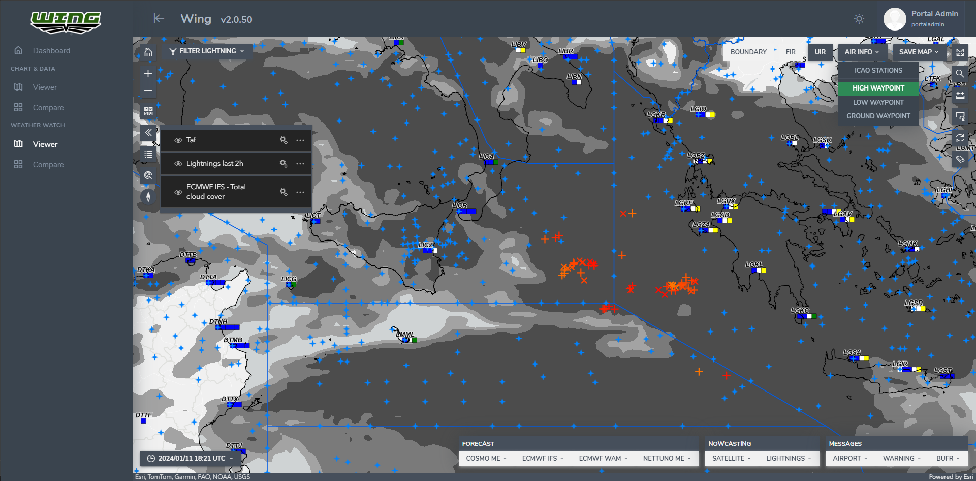
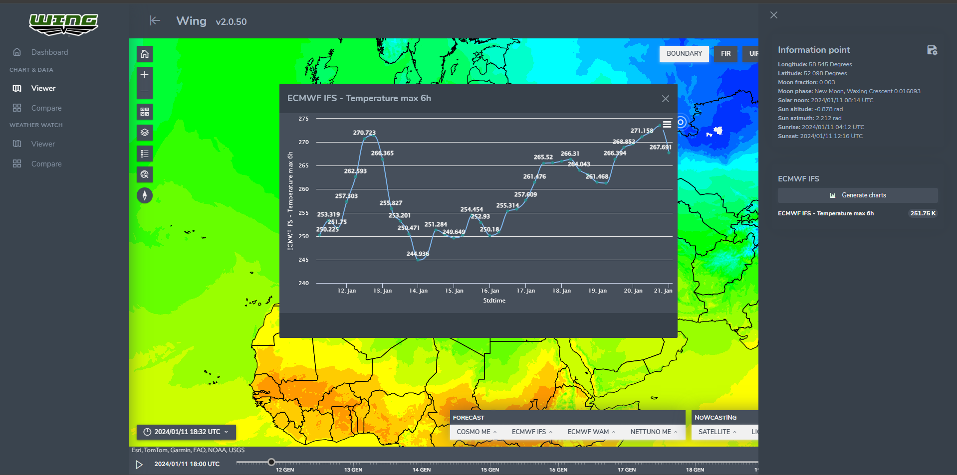
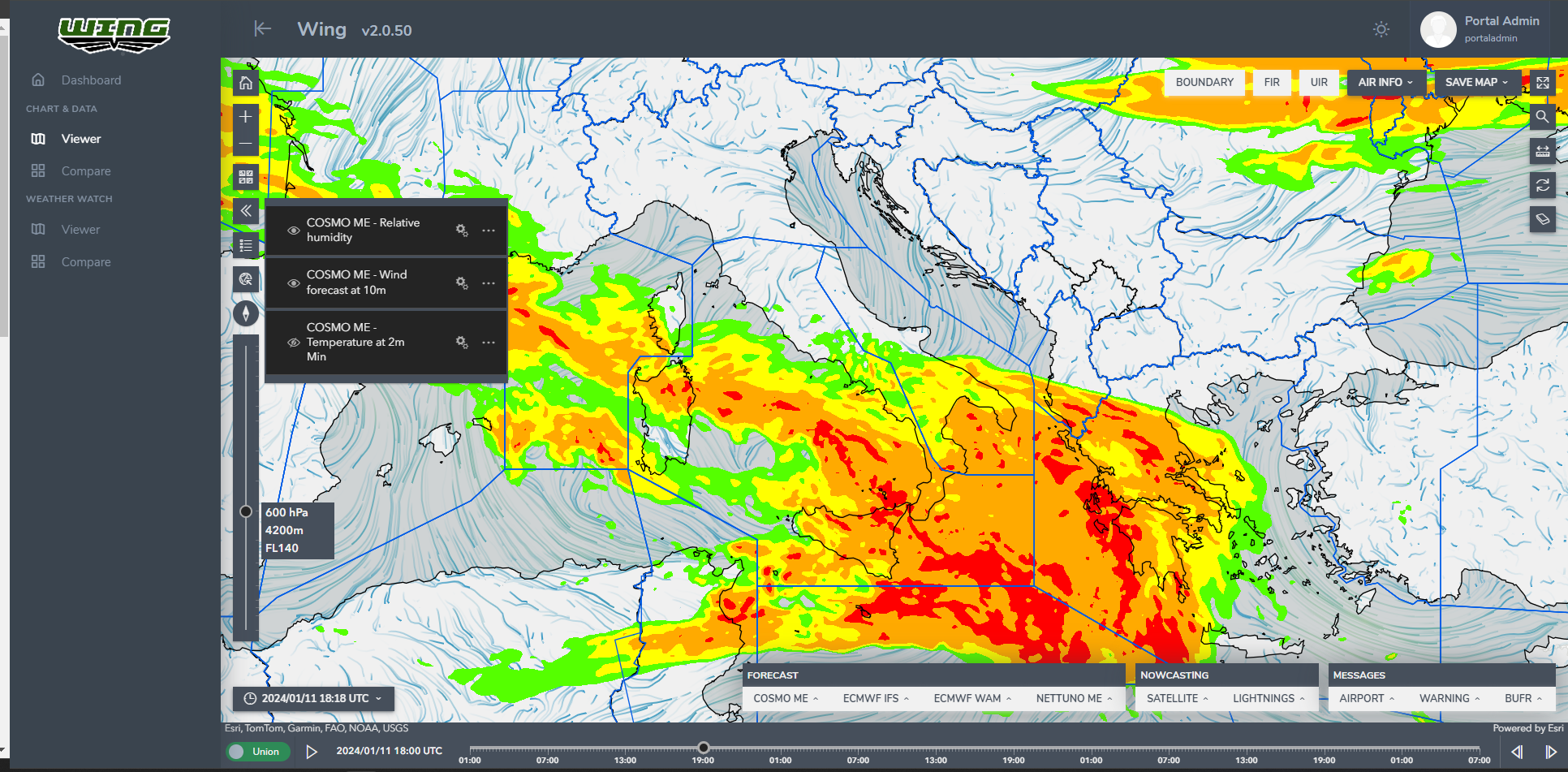
At the core of WING’s capabilities is its seamless integration of many data sources. Satellite data from both low and high orbit meteorological satellites, coupled with real-time airport messages (METAR, SPECI, TAF, AIREP, SIGMET), SYNOP reports spanning terrestrial, naval, buoys, and thermodynamic surveys, as well as forecasts (GRIB/NetCDF) sourced from ECMWF, UKMO, or custom providers, are ingested into the platform. This comprehensive data integration provides military personnel with a holistic view, enabling them to make informed decisions in dynamic operational environments.
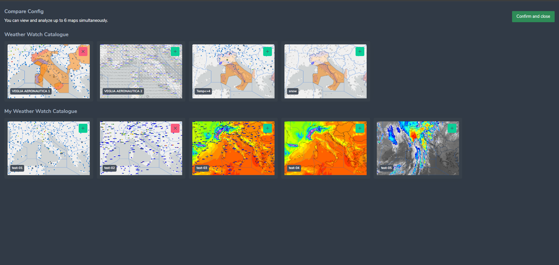
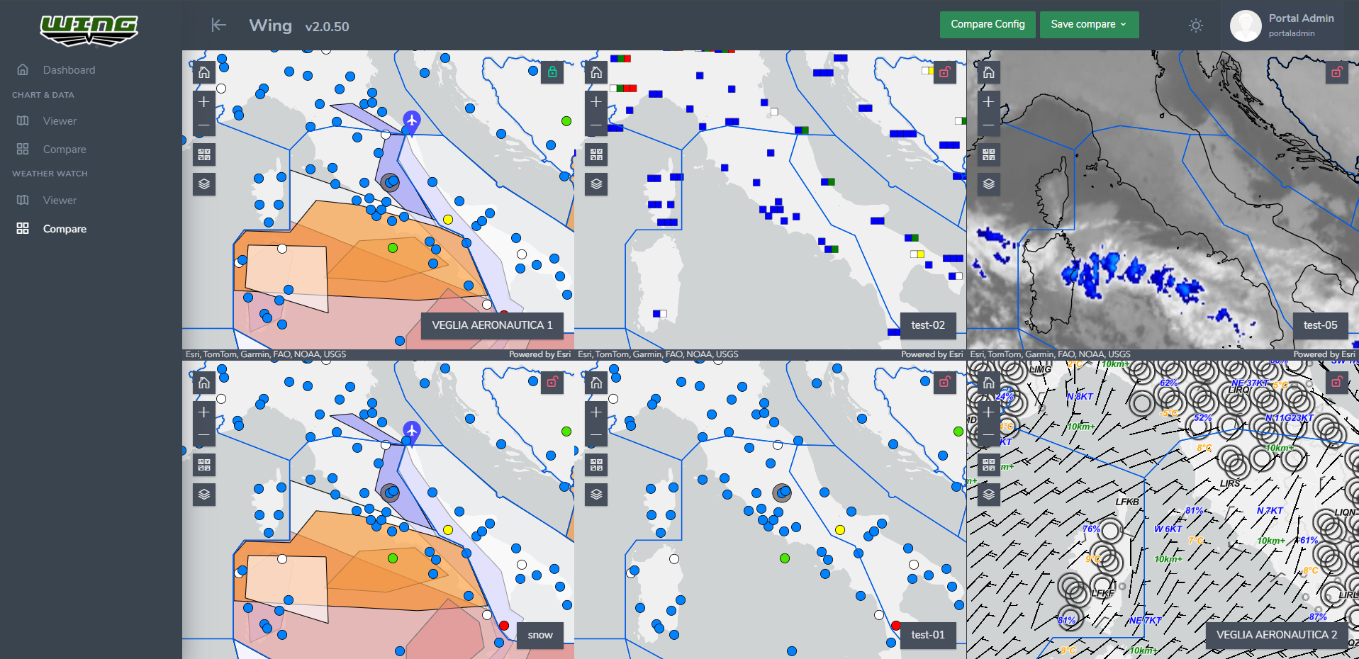
The integration of functionalities within WING 2.0 transcends conventional data processing. Flight plans, navigation, and ground operations are seamlessly streamlined, allowing operators to explore new dimensions of scenario analysis that were previously inaccessible. A crucial feature is the incorporation of a comprehensive historical data repository, enabling WING 2.0 to process, manage, and store vast datasets, ranging in the order of tens of terabytes, and handle hundreds of millions of records daily without compromising performance.
At the core of WING’s success is its modern, cloud-native infrastructure built on Kubernetes and ArcGIS. This strategic architecture ensures scalability, flexibility, and optimal performance, meeting the high demands of military operations. The resounding endorsement and support from the CHOD Department of Italy underscore the groundbreaking impact of this innovative technological approach in the field of meteorological intelligence.
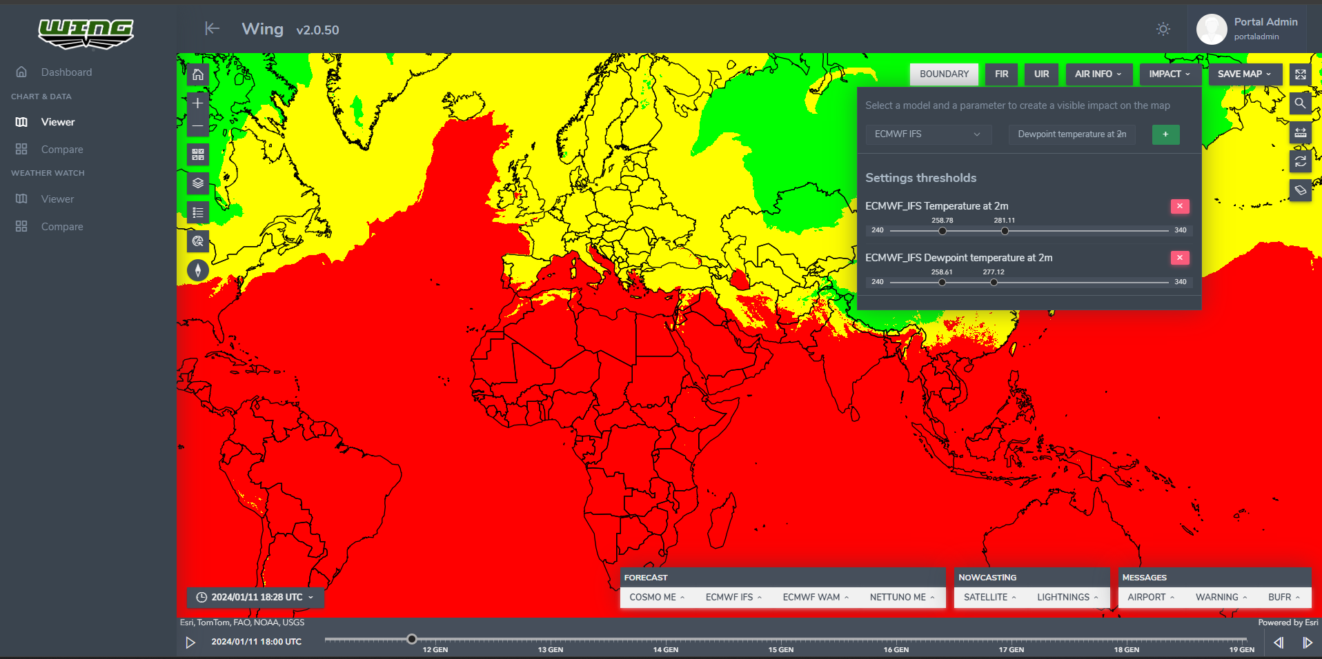
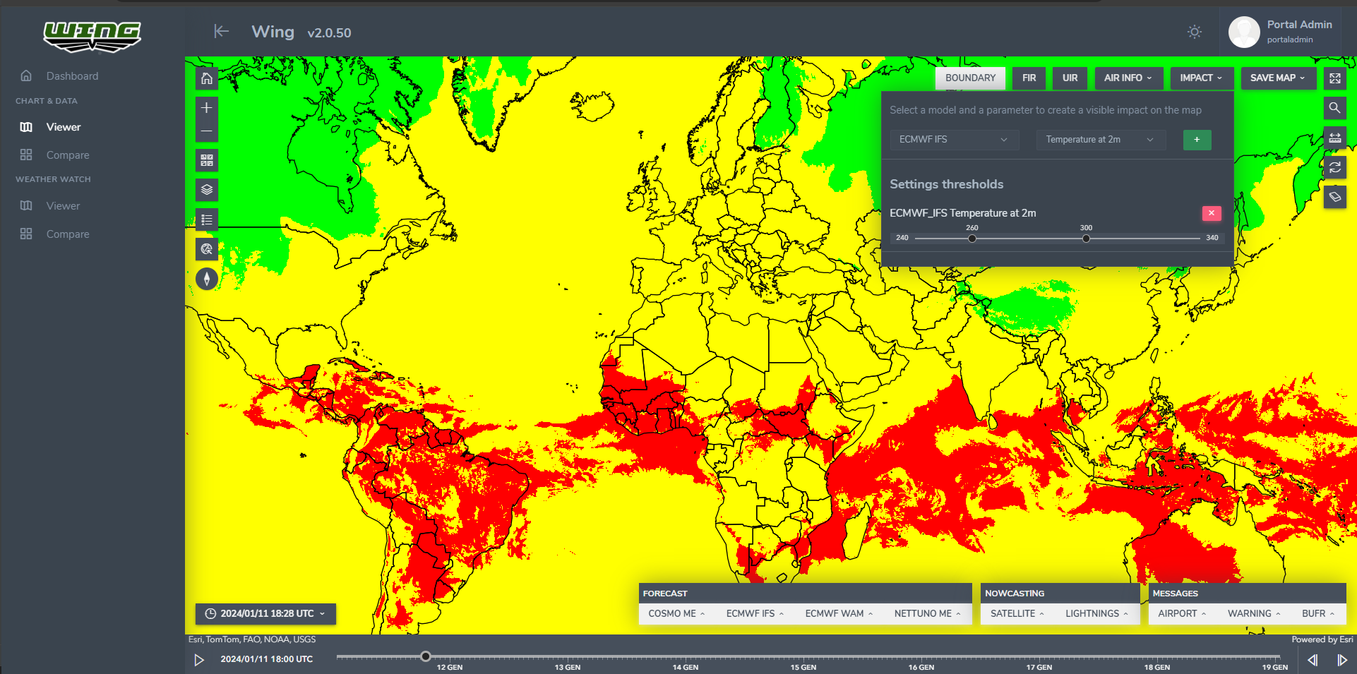
WING’s evolution is perpetual, and its primary focus lies in integrating cutting-edge analysis through artificial intelligence (LLM) to generate precise textual weather forecasts. By amalgamating data from diverse sources, including sensors, grib/netCDF, and satellites, WING aims to provide military personnel with accurate and timely weather forecasts, empowering them to make informed decisions in dynamic operational environments.
The commitment to technological advancement is further evident in WING’s continuous expansion of data sources and innovative features. Forecasts for infrared illumination and the integration of radar data (SRI) showcase the project’s dedication to enhancing its capabilities. WING remains at the forefront by embracing the latest cloud-native technologies, solidifying its position as a pioneer in the realm of meteorological intelligence.
Beyond data analytics, WING 2.0 empowers military personnel to issue alert messages to both military entities and civilians during meteorological emergencies. This comprehensive system is not just about processing data; it plays a pivotal role in making operational decisions. From evaluating the feasibility of flights to determining the possibility of land and sea operations during critical situations, WING 2.0 becomes the central hub for informed decision-making.
In conclusion, WING 2.0 symbolizes the convergence of advanced technology, innovative GIS analysis tool and military intelligence. Its transformative capabilities, from consolidating diverse functionalities to leveraging artificial intelligence for analysis, set new benchmarks for defense operations. As WING evolves, it remains poised to lead the field of meteorological intelligence, ensuring the safety and efficiency of military and civilian operations alike through its intricate technical prowess.